
Six days and about 112 kilometres, with some 5,700 metres of climbing and 5,650 metres of descent, from the old town of Arona in the south to La Esperanza in the north-east. At the end of November 2025 four friends and I walked the GR 131 Anaga–Chasna, the island's long-distance trail, the other way round, through Ifonche and Vilaflor up into Las Cañadas. There we took a detour up the Montaña Blanca trail to La Rambleta at almost 3,560 metres, watched the sea of clouds change colour in the evening, and then followed the GR 131 through the pine forests of the Corona Forestal to where it ends in La Esperanza.
Day one: from Arona to Las Corujas above Vilaflor
We set off from the church square in Arona at half past two in the afternoon, at about 630 m. The GR leaves town through the streets of Vento and climbs along the Camino de Suárez into dry, rocky hills. Just before four we were on the Degollada de los Frailitos saddle at about 760 m, with the view opening back down to the coast. The path then runs below Roque Imoque, on the edge of the Barranco del Infierno nature reserve, and reaches the hamlet of Ifonche a little after five, at just over 1,000 m. Above Ifonche the pine forest starts. The sun set just after six, so we did the long climb past the Guayero bridge and up through the pines of the Corona Forestal in the dark, and stopped at 20:36 at Las Corujas, about 1,600 m up. That made 15.5 km, roughly 1,280 m up and 320 m down.
Day two: from Vilaflor up to the Degollada de Guajara and across to the Parador
In the morning we walked down past the Ermita de San Roque into Vilaflor de Chasna and were by the church of San Pedro, at about 1,400 m, a little after ten. After a break in the village we set off again at half past eleven on the GR 131, which climbs on the old Camino Real de Chasna through the pine forest of the Corona Forestal. We stayed on the GR the whole way and skipped the PR-TF 72 loop to the Los Escurriales viewpoint. Around half past twelve the path was already crossing pale, layered tuff, and after two the cloud came in and the upper forest disappeared in fog. Above the trees the path climbs over the black sand of Arenas Negras and at about ten to four we were on the Degollada de Guajara, the pass into Las Cañadas, at roughly 2,400 m and the highest point of the day. From there we dropped onto the floor of the caldera, with Teide finally standing clear above it, and took the GR 131.1 branch west along the Siete Cañadas track. At a quarter past five we were at the Ermita de Nuestra Señora de las Nieves next to the Parador, at about 2,170 m. The day came to 18.6 km, roughly 1,230 m up and 630 m down.
Day three: from Las Cañadas to La Rambleta
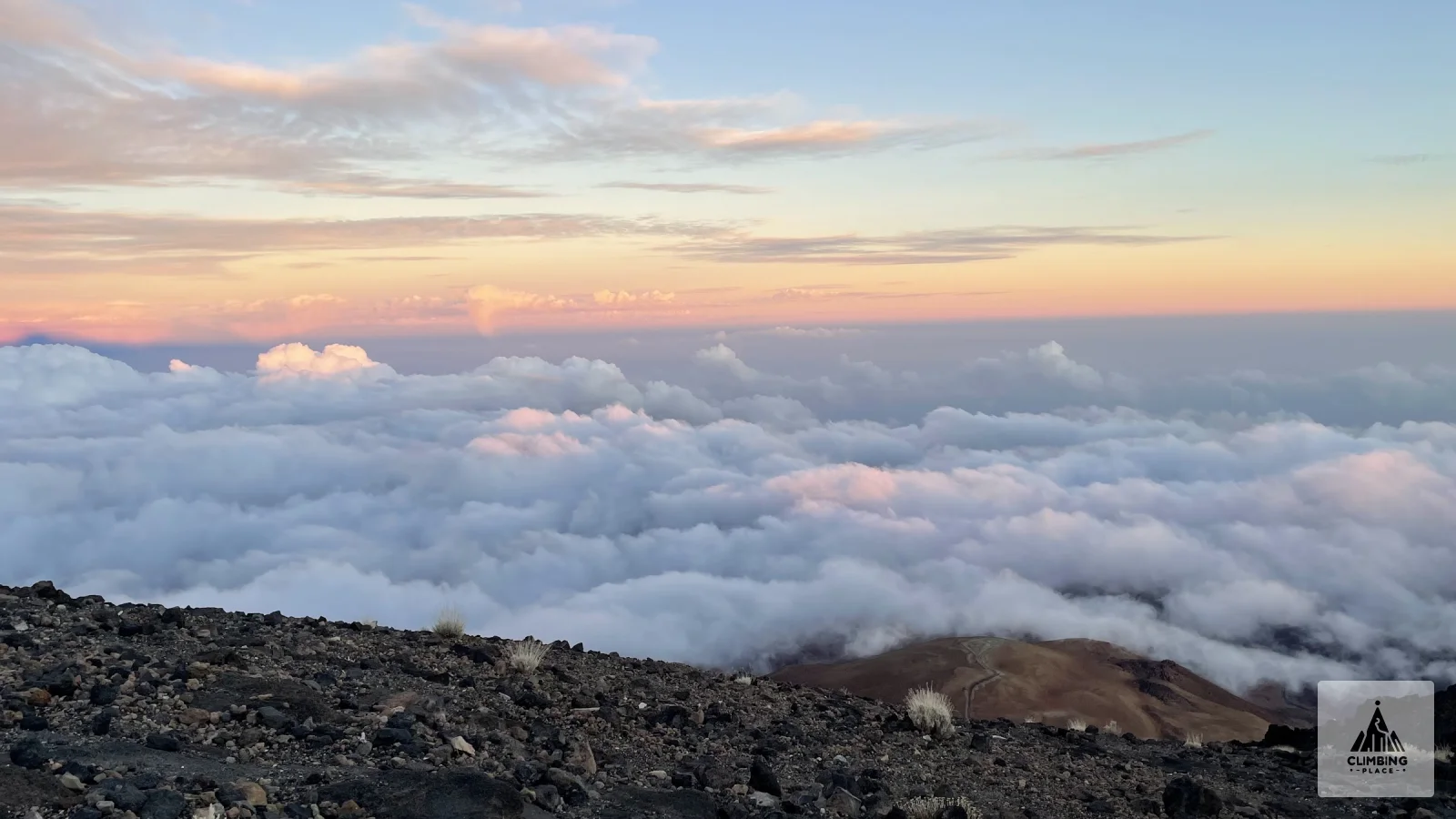
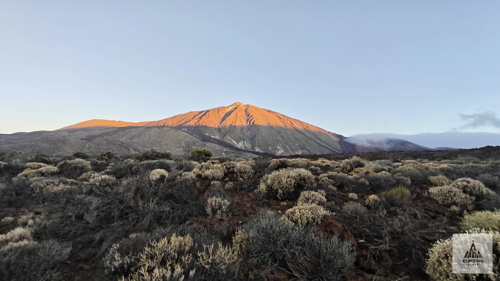
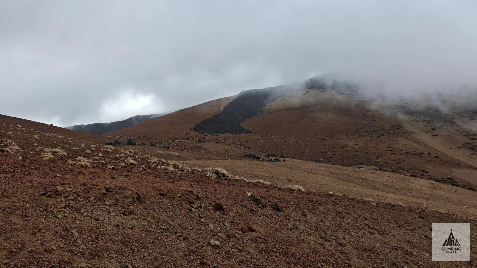
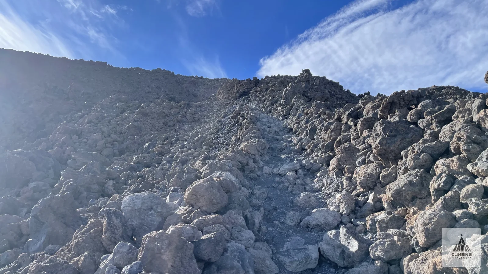
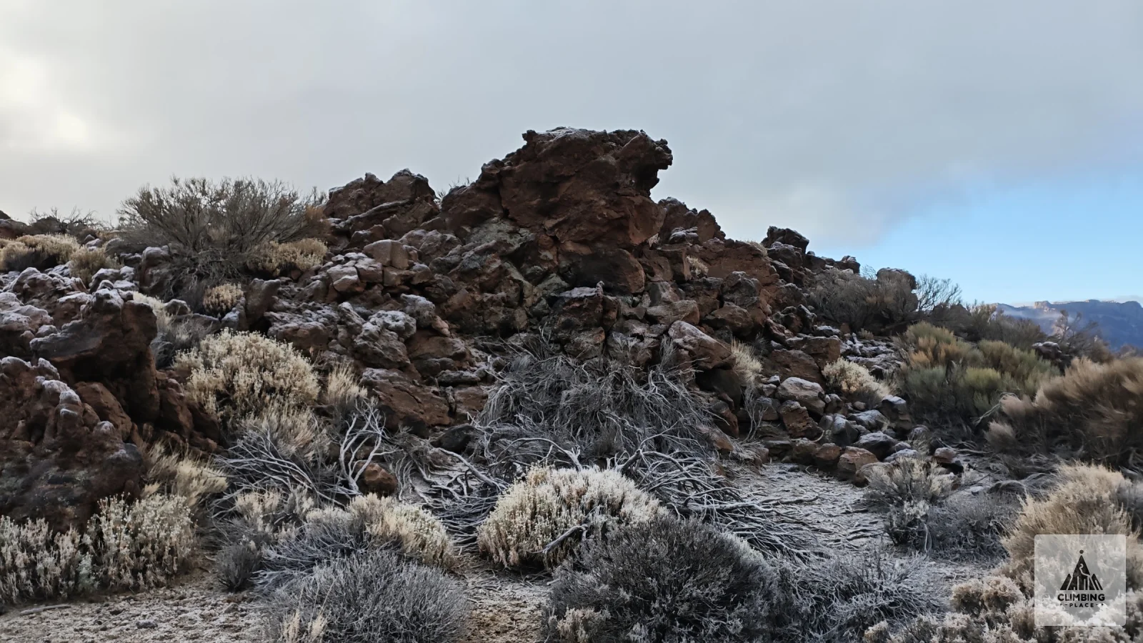
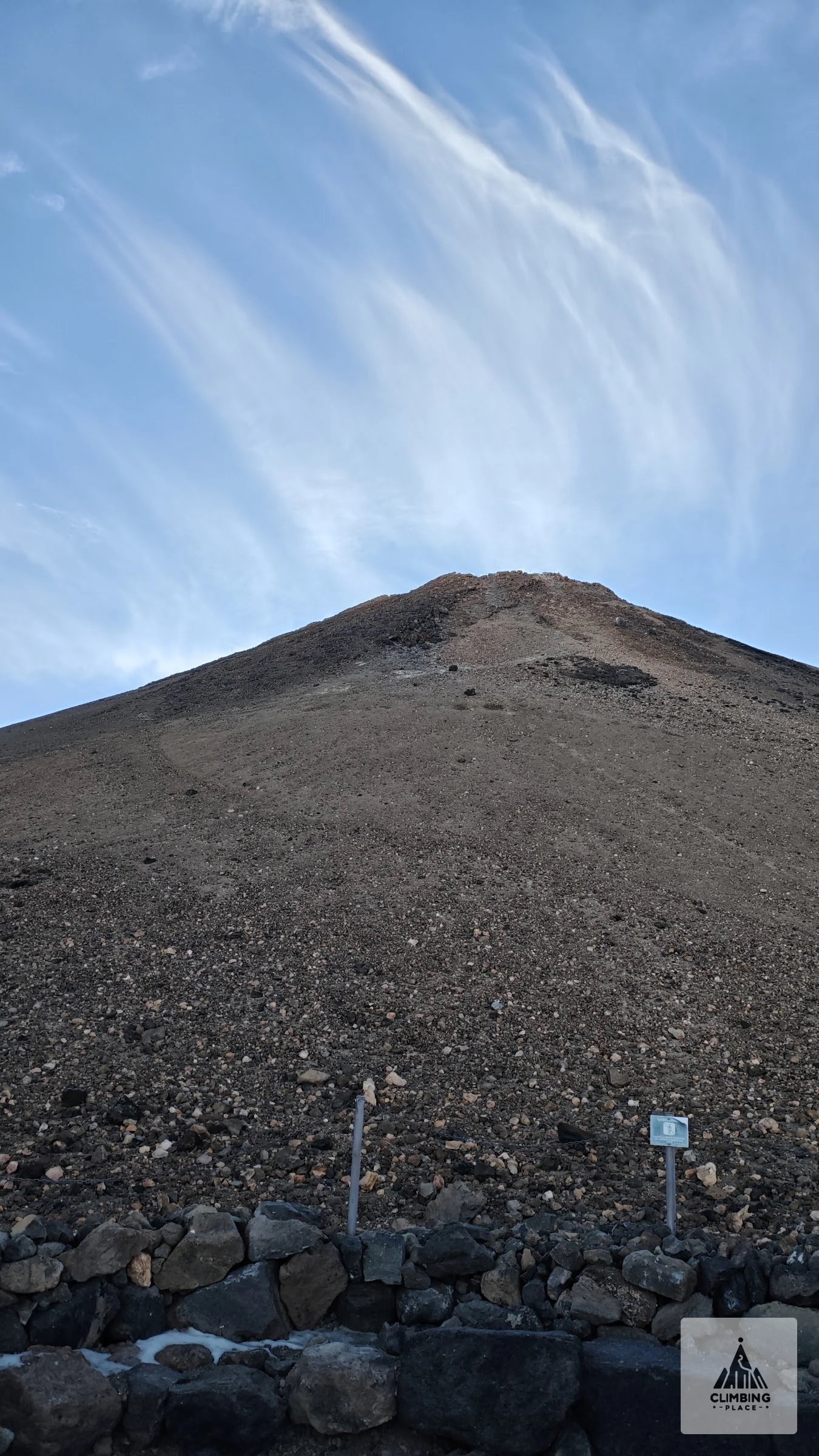
We set off at eight in the morning from the TF-21 road in Las Cañadas, at about 2,180 m. The shrubs were white with frost, and Teide had just caught the first sun. An easy hour past Montaña Majúa took us to the cable car base station, where we had a long break at the cafeteria. Just after noon we started up the Montaña Blanca trail (PNT 07) from the viewpoint on the TF-21. We had the PNT 07 permit, which you need for this trail, more on that below. It begins as a wide track across pale pumice and around Montaña Blanca, with cloud sitting low on the slopes. Then the old path to the summit climbs straight up Lomo Tieso, past the Estancia de los Alemanes, to the Altavista refuge at 3,260 m. This part is steep and loose, and the altitude makes every step count. Somewhere above 3,000 m we came out of the cloud into sunshine, with a sea of clouds below us.
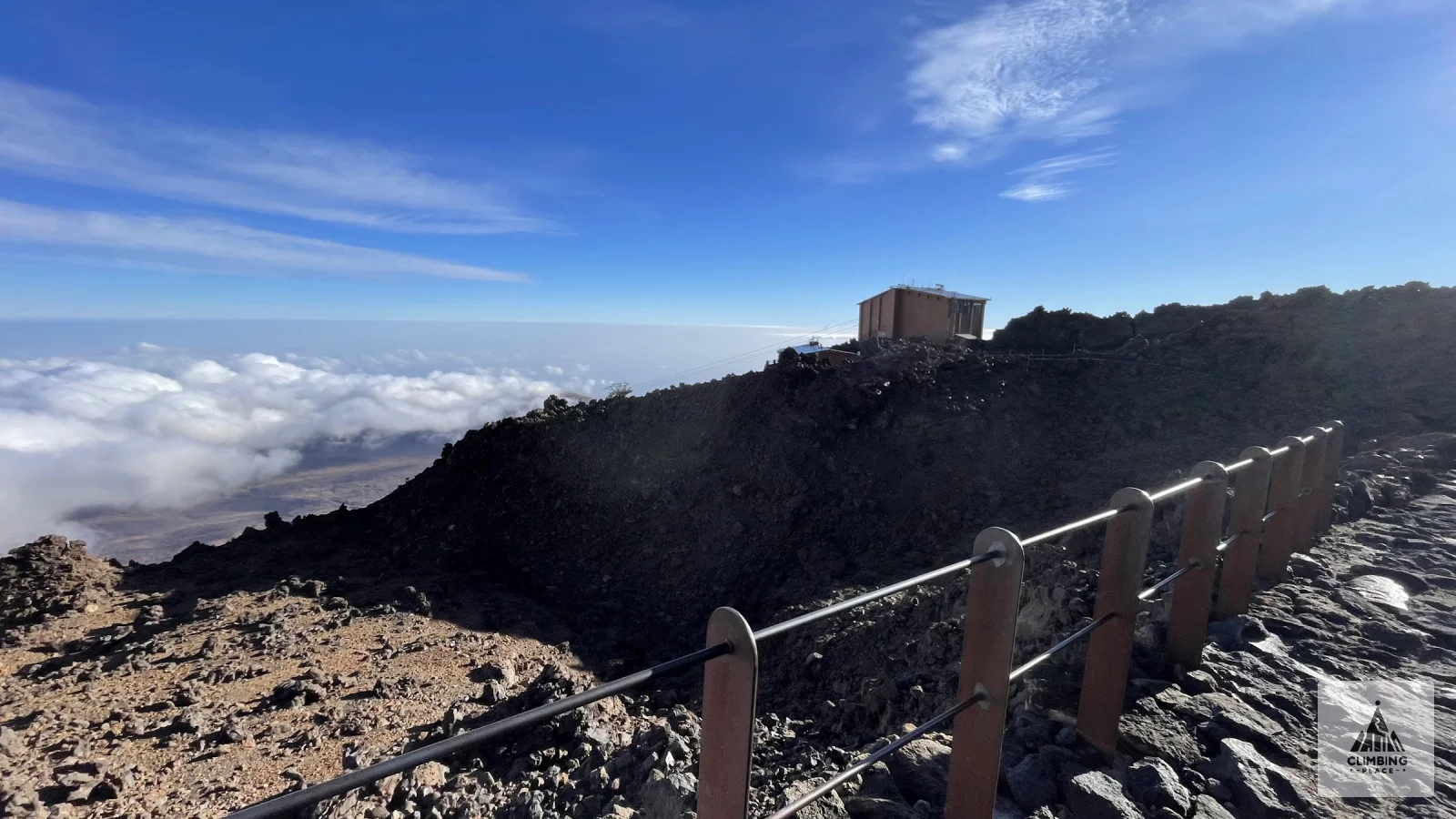
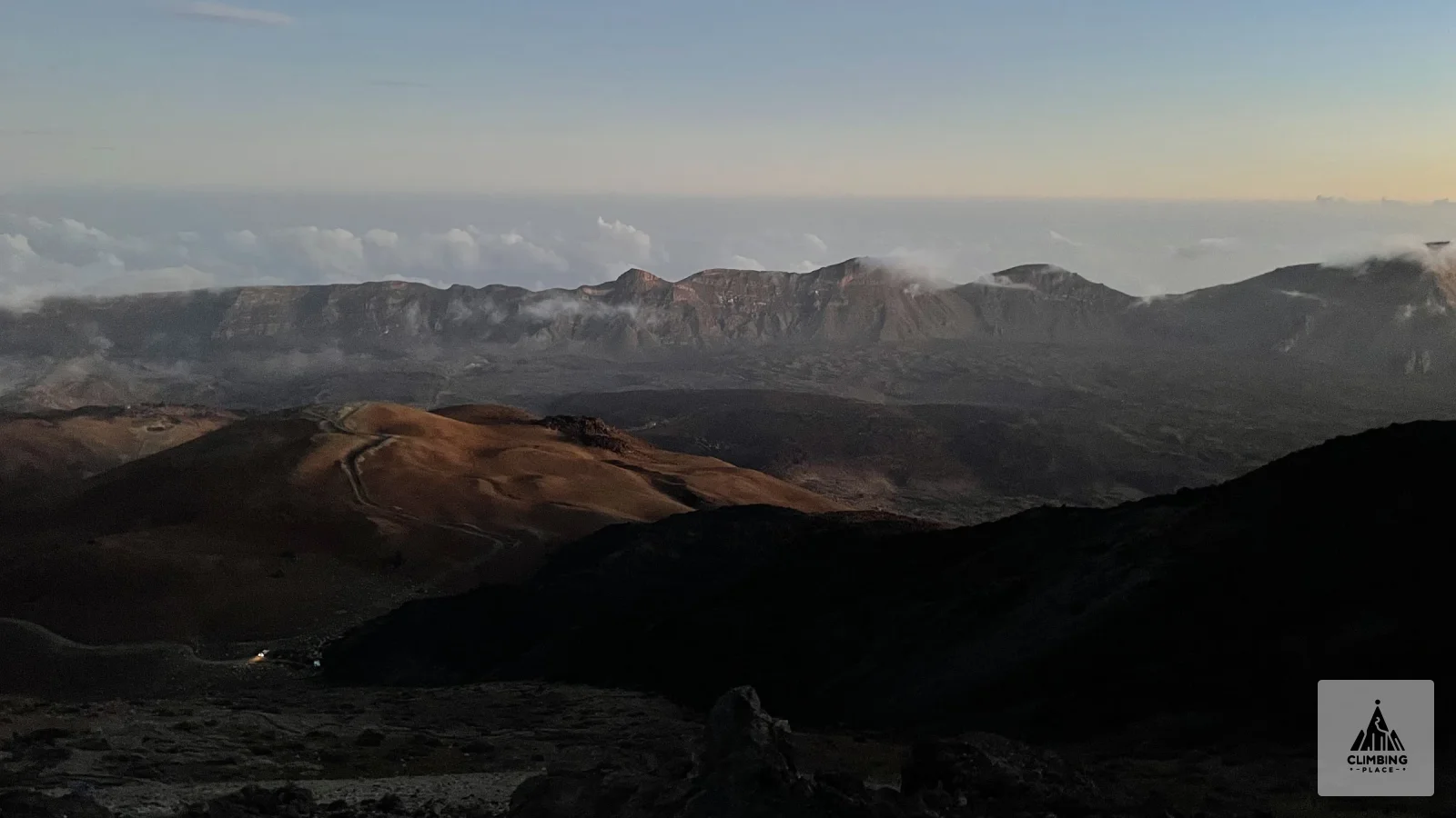
At 16:36 we reached the Mirador de La Fortaleza next to La Rambleta, the upper cable car station, at about 3,555 m. The summit cone of Teide rises right above it, but that day the summit was closed to anyone who isn't a climber because of bad weather, so La Rambleta was as high as we went. We stayed for the evening light over the clouds instead, then headed down past the Cueva del Hielo and the refuge. The sun sets at about 18:10 here in late November, so most of the long descent past the Huevos del Teide, the big lava balls at the foot of the cone, happened in the dark. We stopped at 20:14, at about 2,230 m on the north-east side of Montaña Blanca. The day came to 25 km, roughly 1,650 m up and 1,550 m down.
Day four: El Portillo and down to La Caldera
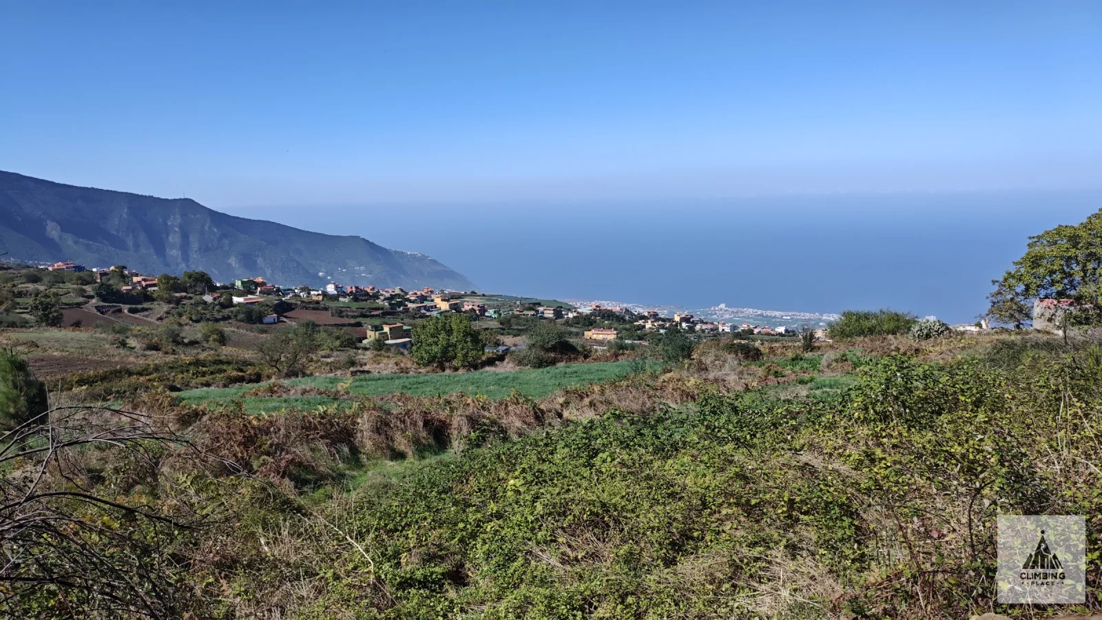
In the morning we walked over to El Portillo, the north-east gateway of the national park, and took a long break there. Around half past ten we joined the GR 131 heading north. This stretch follows the old Camino de Chasna, which drops out of the park into the pine forest past Bujero del Agua to the picnic site and shelter at Cruz del Dornajito, where we stopped around one. Below the trees the view opens over the Orotava valley to the sea, with Teide behind you the whole way. At half past two we were in Aguamansa, at about 1,000 m. Late in the afternoon we added another 1.7 km on the SL-TF 81, the Camino de la Orilla del Monte, past the La Caldera recreation area to the Choza de Pedro Gil shelter at 1,190 m. That made 19 km, about 330 m up and 1,400 m down.
Day five: along the ridge to Las Calderetas
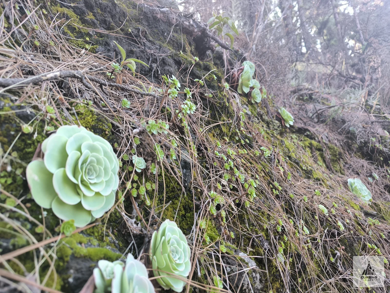
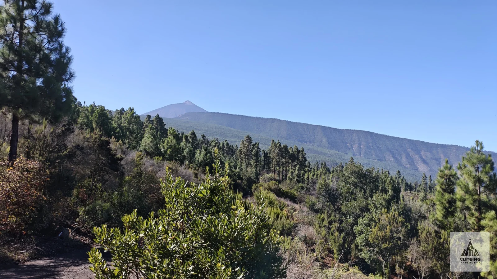
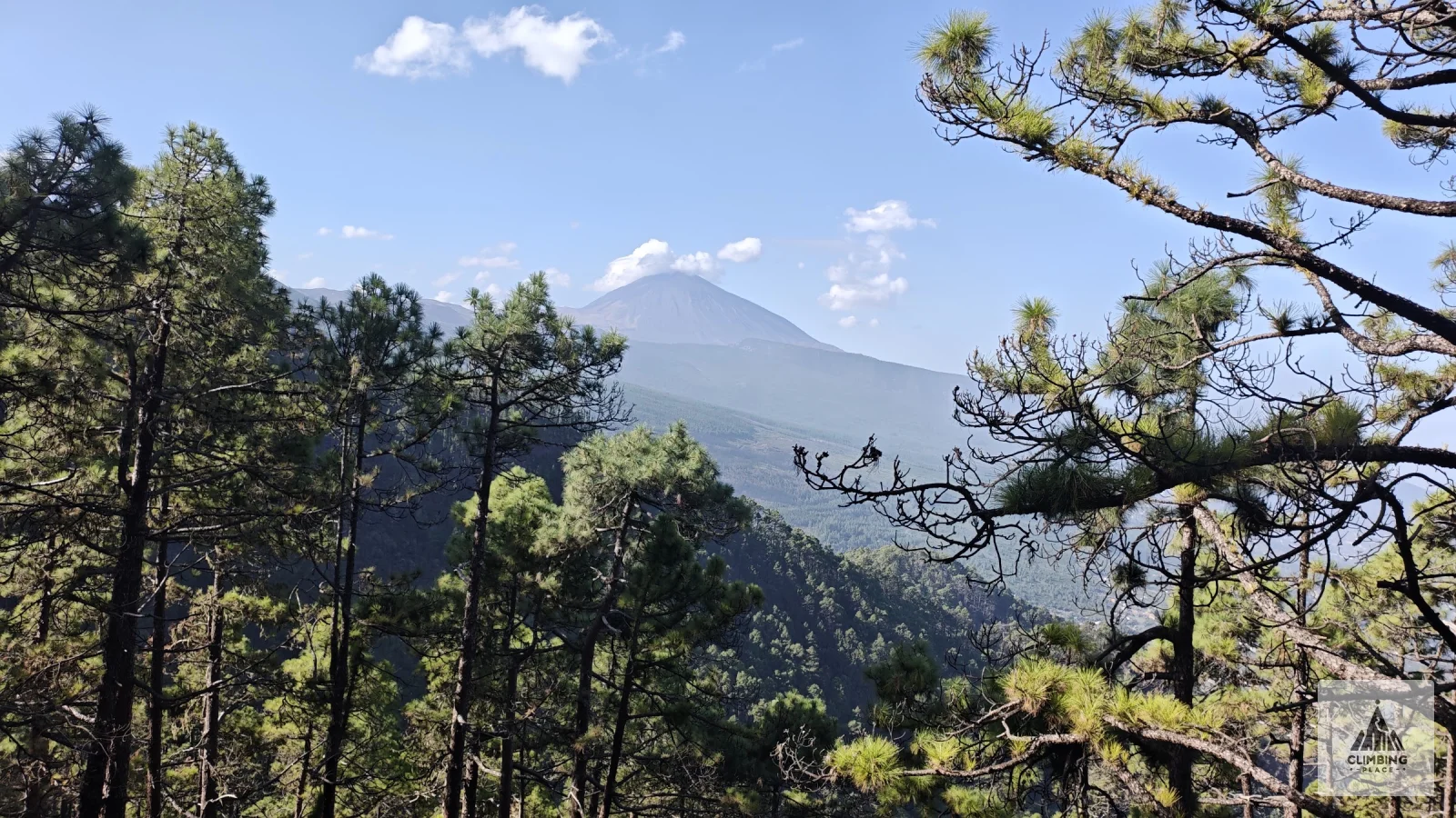
The longest day. From the Choza de Pedro Gil the GR 131 climbs back up to the ridge that runs through the middle of the island, through Portillo el Topo to Roques Blancos, the high point of the day at about 1,760 m, which we reached before noon. From there the trail loses height slowly over many kilometres, past Lomo Negro, El Gaitero, Montaña la Mesa and the picnic site at Las Canales. Tall Canary pines frame Teide behind you and the north coast below, and on the shady banks Aeonium rosettes grow out of the moss. Past the Salto de las Aguilillas spring and Cruz del Villero we reached the Las Calderetas recreation area above El Sauzal at 17:26. The day added up to 24.8 km, 1,120 m up and 1,330 m down, almost nine hours including breaks.
Day six: to La Esperanza
A short last stage. From Las Calderetas the GR 131 runs through the damp forest of the Las Lagunetas protected landscape, past Cruz de Fune and Montaña el Haya, and just after ten we walked into La Esperanza, where the trail officially starts and ends on the town square. After a break we walked another 3 km down to El Ortigal. The last day was 9 km, about 170 m up and 430 m down.
Good to know
The GR 131 on Tenerife runs 85.5 km from La Esperanza to Arona and is usually split into five stages: La Esperanza to La Caldera, La Caldera to El Portillo, El Portillo to the Degollada de Guajara, on to Vilaflor and finally to Arona. We walked it the other way round. In Las Cañadas we took the GR 131.1 branch to the Parador and from there went over Montaña Blanca and La Rambleta to El Portillo instead of following the Siete Cañadas track all the way. The stage from Vilaflor to Arona alone is 17.7 km, and walked uphill from Arona like we did it means about 1,400 m of climbing. Parts of the national park, the Siete Cañadas and the GR 131.1 to the Parador among them, close on set days for mouflon control, so check the trail status on Tenerife ON before you go.
Since 29 November 2024 you need a booking on Tenerife ON for the Montaña Blanca trail (PNT 07) between the top of Montaña Blanca and La Rambleta. It covers the walk up and back down on foot on the chosen day, not the summit and not the cable car. Rangers check it together with your ID and the mandatory kit, which means mountain boots, long trousers, a warm jacket, gloves, a hat and water. Walking without a booking can cost up to 600 euros. Depending on the time slot and where you live, the booking may carry a fee. The summit trail PNT 10 Telesforo Bravo needs a separate permit, also on Tenerife ON. New slots open every Monday at 7:00 Canary time for the next 56 days, and each person can book once every 15 days. A night in the Altavista refuge includes the PNT 07 and an early slot on the PNT 10 the next morning, from 6 to 9.
Camping is banned in the Teide National Park, whether in a tent, a caravan or a car. Sleeping out without a tent is only allowed in four designated bivouac zones (Teide, Montaña Blanca, Pico Viejo and Guajara), again with a permit from Tenerife ON. Outside the park the Cabildo runs free campsites for tents, such as Las Calderetas, which you also book on Tenerife ON, at most 21 days ahead. The La Caldera campsite has been closed for forestry work since January 2025, so check its page before you count on it. Most of these campsites sit next to a recreation area with toilets, grills and water, and the toilets are open while the warden is around.
In late November we had frost in Las Cañadas in the morning and warm sunshine above the clouds in the afternoon. When there is ice or snow on Teide, the permit rules add crampons and an ice axe to the kit list, so check the AEMET mountain forecast before you go up. The sun rises around 7:35 and sets around 18:10, so pack a headlamp. We travelled by bus, both to the start and home again at the end. If you want to start in Las Cañadas, TITSA buses 342 from Costa Adeje and 348 from Puerto de la Cruz run up once a day and stop at the Montaña Blanca trailhead.
None of this gave our group any trouble, with water or with the gear. That doesn't make it an easy walk for everyone. The day up to La Rambleta means 1,650 metres of climbing up to more than 3,500 metres, and the long descents after it are hard on the knees.
Comments
No comments yet.
Sign in to like and comment.